15 Longest Straits In The World
A strait is a navigable waterway connecting two larger bodies of water. It is a natural formation and is often narrow. Some straits also act as maritime chokepoints and are key to continuing smooth maritime trade worldwide. Some examples include the Hormuz Strait, the Strait of Malacca, etc.
Straits not only reduce transit times and costs by providing the quickest sea routes between two places, but they are also geopolitically important. Civilisations in the past strove to establish their dominance on these strategic waterways, which meant controlling vital trade routes of the respective region.
Even today, straits are considered extremely important for the free flow of trade, commerce, ideas and people globally.
In this article, we will discuss the 15 longest straits in the world. So, let’s begin!
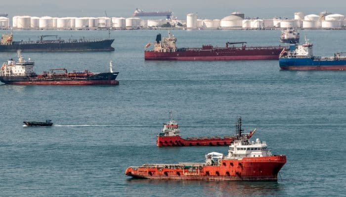
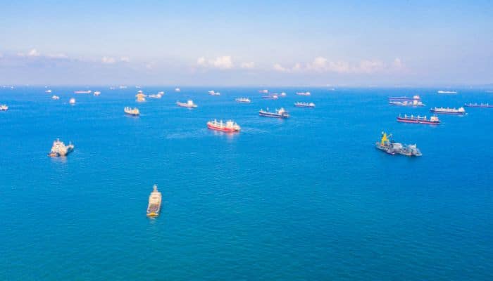
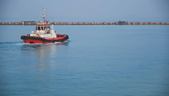
1. Strait of Malacca
The Strait of Malacca is said to be the longest strait. It is 800 km or 500 miles long and 65-250 km broad and connects the Indian and Pacific Oceans via the Andaman and South China Sea. It is named after the Malacca Sultanate that ruled modern-day Malacca, Malaysia, between 1400-1511.
As the primary shipping channel between two major oceans, the strait has great economic and strategic importance, connecting major Asian economies.
It is also a part of the Maritime Silk Road that goes from the coast of China to India’s southern tip to Mombasa. From here, it runs to the Red Sea through the Suez Canal to the Mediterranean, Upper Adriatic region, Trieste and from there to Central Europe and the North Sea through rail connections.
More than 95,000 ships pass through it annually, making it a busy waterway, shipping about 25% of all traded items like oil, Chinese manufactured goods, Indonesian coffee and a quarter of all global oil coming from the Persian Gulf to the markets in Asia.
2. Bass Strait
The Bass Strait distinguished Tasmania from mainland Australia while offering a sea route between the Great Australian Bight and the Tasman Sea, making it a vital maritime route to Port Philip Bay.
Per research, the Bay was formed due to rising sea levels at the end of the last glacial period. It has been named after George Bass, an English physician and explorer.
Bass Strait is around 500 km long, 250 km wide, and 60 m deep. Its widest point is 350 km, between Cape Portland on the northeastern end of Tasmania and Point Hicks on mainland Australia.
Over 100 islands lie in the Bass Strait, with many oil and natural gas fields, such as the Halibut and the Kingfish fields, discovered between 1960-1980.
3. Davis Strait
Lying between Baffin Island and Greenland, this strait is an entry point to Baffin Bay. It is a huge stretch of water over 950 km across its greatest width and is approximately 300 km wide. Its underwater topography comprises a ridge formed 45-62 million years ago, extending from the Baffin island coast to Greenland. Along this ridge are found the Strait’s shallowest waters.
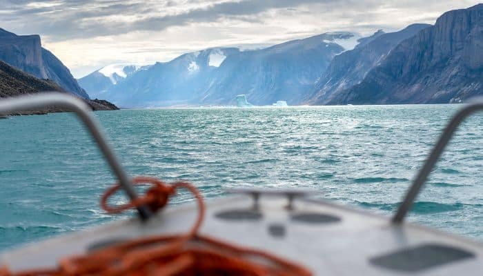
It is also known as the northern arm of the Atlantic Ocean north of the Labrador Sea. The Davis Strait was first explored by John Davis, an English explorer and leader of three expeditions organised by Merchants of London, England, in 1585-87. By the 1650s, the region had become a popular spot for whale hunting.
Another characteristic feature of the Davis Strait is its ruthless tides, which can be as high as 30 to 60 ft. Per the Geological Survey estimates, the region around the Strait holds up to 13% of the global undiscovered oil deposits and 30% of untapped gas reserves.
4. Denmark Strait
Also referred to as the Greenland Strait, this waterway lies between Greenland to its northwest side and Iceland to its southeast. To its northeast lies Jan Mayen, a Norwegian island.
It links the Greenland Sea, part of the Arctic Ocean, to the Irminger Sea, a part of the Atlantic Ocean. The world’s biggest underwater waterfall, the Denmark Strait Cataract’ is located on the western side of the Denmark Strait.
The cold East Greenland Current in the strait takes icebergs to the North Atlantic. The Denmark Strait is rich in fisheries, too. It is 480 km long and 290 km wide at its narrowest point between Straumnes and Cape Tupinier.
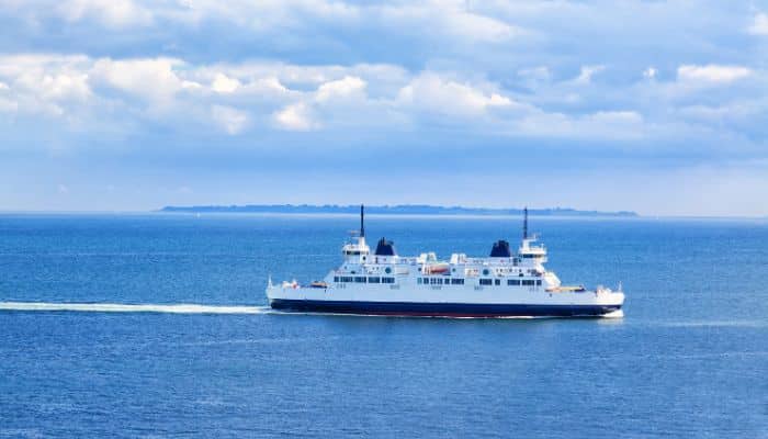
5. Korea Strait
This strategic strait in East Asia lies between Japan and Korea, linking the East China Sea, the Yellow Sea and the Sea of Japan. To its northern side, the Korea Strait is surrounded by the Korean Peninsula’s southern coast. To its south lie the Japanese islands of Kyushu and Honshu.
It is a vital trade route; many shipping lanes pass through it, with Korea and Japan allowing free passage through the waterway. It is also the site of the Battle of Korea during the Korean War.
The strait is about 200 km wide with an average depth of 90 to 100 m. Passenger Ferries ply in the strait running from Busan and Geoje in South Korea to the Japanese ports of Tsushima, Hiroshima and Shimonoseki.
6. Torres Strait
Torres Strait is between Australia and New Guinea, offering a passage between the Coral Sea on the east and the Arafura Sea in the western Pacific Ocean. It is 130 km wide and has several reefs and shoals, making navigation in the strait quite dangerous.
It was discovered in 1606 by a mariner called Luis Vaez de Torres, and the existence of this waterway was kept a secret until 1764. Captain James Cook was the second European to cross the strait in 1774.
Several Torres Strait Islands have a history of human habitation dating back to 2500 years. These communities have distinct cultures and traditions.
In the strait are about 580 coral reefs, like the Eastern Patch reefs and Warrior Reefs, that span 2400 km2 of area. It also has one of the most extensive seagrass beds across the globe.
7. Bering Strait
Towards the north, the Bering Sea meets the Arctic Ocean via the Bering Strait at its narrowest point. It separates Russia and Alaska at the closest point, 53 miles or 85 km.
The Strait is relatively shallow, with an average depth of 50 m and only 90 m deep at its deepest point. Per several theories, this strait was once a land bridge between North America and Asia during the Ice Age. During those times, sea levels fell and formed a land bridge, allowing plants and animals of the region to spread far and wide.
Bering Strait has many islands, such as the Diomede and St Lawrence Islands. Storms are common in this region in winter, and most of the Bering Sea remains covered with ice, which gradually melts and drifts into the strait as summer knocks.
8. Yucatan Channel or Straits of Yucatan
Also known as the Straits of Yucatan, this waterway between Mexico and Cuba links the Yucatan Basin in the Caribbean with the Gulf of Mexico.
As the strait’s water enters the Gulf of Mexico, it passes through a shallow area called Campeche Bank. This region is home to numerous coral reefs. Many reef-building corals are found here, such as Acropora palmate and others.
Several corals died in the 1990s; however, recolonisation is gradually occurring. Campeche Bank is quite diverse, similar to other regions of the Yucatan Channel, rich in fisheries.
This channel is more than 200 km or 120 miles wide and around 2800 m or 9200 ft deep near the Cuban coast, its deepest point. This region is overexploited and suffers from the ils of pollution.
9. Bosphorus Strait
Bosphorus Strait is a significant seaway connecting the Black Sea to the Marmara, Aegean, and Mediterranean Sea through the Dardanelles. It also joins many water bodies along the eastern Mediterranean, the Near East, the Balkans, and Western Eurasia.
Hence, it connects the Black Sea to the Mediterranean Sea and the Atlantic Ocean through Gibraltar and the Indian Ocean via the Suez Canal. It is a crucial sea passage, especially for commodities coming from Russia.
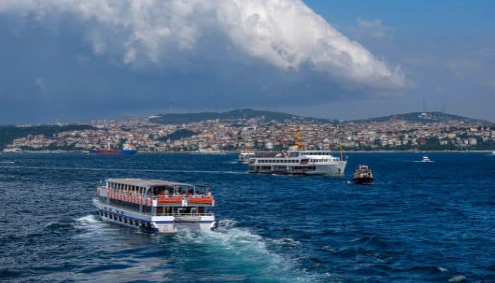
It is 31 km or 19 miles long, 700 m wide and 110 m deep. This strait forms a part of the border dividing Asian and European continents. It also divides Turkey by separating Anatolia from Thrace. It is also the narrowest strait in the world used for navigation internationally.
The coasts of Bosphorus are heavily populated. The metropolitan population of Istanbul, comprising around 17 million people, extends inward from both banks. Also, the Bosphorus Strait, along with the Dardanelles Strait, is called the Turkish Straits.
10. Tartary Strait
The Strait of Tartary in the Pacific Ocean divides Sakhalin Island, Russia, from the Asian mainland. This 632 km long strait connects the Sea of Okhotsk and the Sea of Japan. The northern part of Tartary Strait called the Amur Liman, gets freshwater from the Amur River.
The strait is 7 to 342 km wide and less than 210 m deep. Its coasts are dotted with many Russian ports and harbours like Lesogorsk, Uglegorsk and Sovetskaya Gavan. Operations at these facilities are restricted by thick ice from November to May.
In 1956, the Soviet Government proposed the construction of a causeway over this strait to prevent cold water from entering the Sea of Japan, thereby raising the temperatures around the latter.
11. Luzon Strait
The Luzon Strait lies between Luzon and Taiwan. This 250 km wide waterway is home to the biggest ocean waves in the world. These mighty waves can be more than 170 m in height and are mainly seen in the northern part of the Luzon Strait.
However, these waves or currents rarely break the surface, hence pose no danger to shipping, but are seldom captured by satellites.
Luzon Strait links the Philippine Sea with the South China Sea in the western Pacific Ocean. It is a vital seaway for maritime trade as several ships from the Americas cross it to reach East Asian ports.
Also, submarine cables pass through this strait, providing access to data and telephony services to China, Japan, South Korea, Taiwan and Hong Kong.
12. Palk Strait
The Palk Strait is between the Indian State of Tamil Nadu and the Jaffna District of the Northern Province of Sri Lanka, linking the Bay of Bengal with Palk Bay.
This waterway connecting India and Sri Lanka has been named after the Governor of Madras, Robert Palk, who served during the Company Raj in the 1700s.
The Palk Strait is less than 9.1 m deep and is 64 to 137 km wide. Many rivers flow into the strait, such as the Vaigai River. A striking feature of the strait is its waves, which vary across the north and south. To the north, the waves are usually swell waves, and to the south, in Palk Bay, are usually sea waves.
At the southern end of Palk Bay lies a chain of islands and reefs, together called the Ram Setu or Bridge of Ram, in Hindu mythology.
13. Sunda Strait
Sunda Strait lies between Java and Sumatra in Indonesia, linking the Java Sea with the Indian Ocean. The Sunda Strait is a triangular formation with 2 bays to its north.
It extends in a southwest-to-northeast fashion, with a width of 24 km between Cape Tua and Java’s Cape Pujat. The strait is quite broad and deep at the southwestern side and narrows down to the northeast, becoming shallow, with a 20 m depth.
Apart from its shallowness, it has strong tidal currents and man-made obstructions like oil platforms and sandbanks, making navigating dangerous. Most ships now use Malacca Strait instead of this waterway.
The waterway derives its name from the Sunda Kingdom, which controlled Java’s western part from 669-1579. It is also said that this name alludes to the Sudanese populations indigenous to West Java.
It was a vital shipping route, and the Dutch East India Company used it to reach the Indonesian Spice Islands.
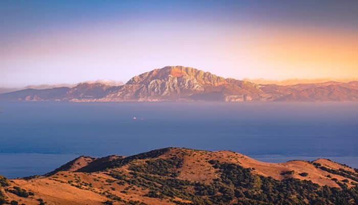
14. Strait of Gibraltar
The Strait of Gibraltar links the Atlantic Ocean to the Mediterranean Sea, separating Europe and Africa by 13 km of ocean at its narrowest point, lying between Point Marroqui in Spain and Point Cires in Morocco.
The strait derives its name from the Rock of Gibraltar. It is also called Bab al-maghrib in Arabic, meaning ‘the Gate of the West’ or ‘Gate of Sunset’.
BirdLife International identified it as an Important Bird Area due to thousands of seabirds flying across it to migrate between the Mediterranean and the Atlantic. Some birds include Scopoli and Balearic shearwaters, razorbills, Atlantic puffins, etc.
Also, an orca pod, one of the few inhabiting Western European waters, lives around the Strait of Gibraltar.
The Strait of Gibraltar also serves as an essential shipping route from the Mediterranean to the Atlantic. Ferries carry people across the strait between Spain and Morocco, Spain and Ceuta, and Gibraltar to Tangier.
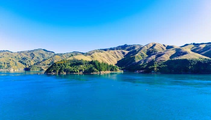
15. Cook Strait
Cook Strait links the Tasman Sea with the South Pacific Ocean and separates the North and South Islands of New Zealand.
Named after James Cook, the first European who sailed through the waterway in 1770, this 22 km wide strait is known for its dangerous and unpredictable waters.
It finds mention in various Maori tales. In one of the stories, Hine Poupou has been described as the first woman to cross this strait with the help of a dolphin.
Given the strong tidal flows here, this region is also said to be a potentially rich source of tidal energy.
Regarding navigation, ferry services in the strait run between Picton in Marlborough Sounds and Wellington. Cook Strait also supports many cetacean species, including bottlenose, common and dusky dolphins, killer whales, sperm whales, sei and southern right whales, giant squids, fur seals, etc.
You might also like to read-
- 10 Major Straits Of Asia
- 10 Best Great Lakes Ship Tracker Tools
- 10 Gulf of Martaban Facts You Might Not Know
- 12 Gulf Of Mannar Facts You Might Not Know
- 10 Celtic Sea Facts You Should Know
- 9 Interesting West Philippine Sea Facts You Must Know
- 13 Gulf Of Riga Facts You Must Know
Disclaimer: The authors’ views expressed in this article do not necessarily reflect the views of Marine Insight. Data and charts, if used in the article, have been sourced from available information and have not been authenticated by any statutory authority. The author and Marine Insight do not claim it to be accurate nor accept any responsibility for the same. The views constitute only the opinions and do not constitute any guidelines or recommendations on any course of action to be followed by the reader.
The article or images cannot be reproduced, copied, shared or used in any form without the permission of the author and Marine Insight.